
Mahatma Phule Krishi Vidyapeeth, Rahuri, Maharashtra

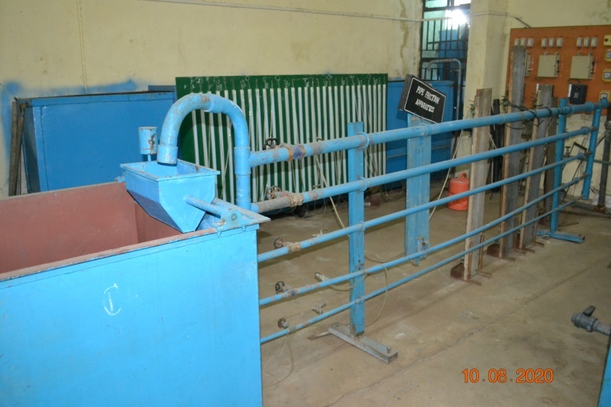
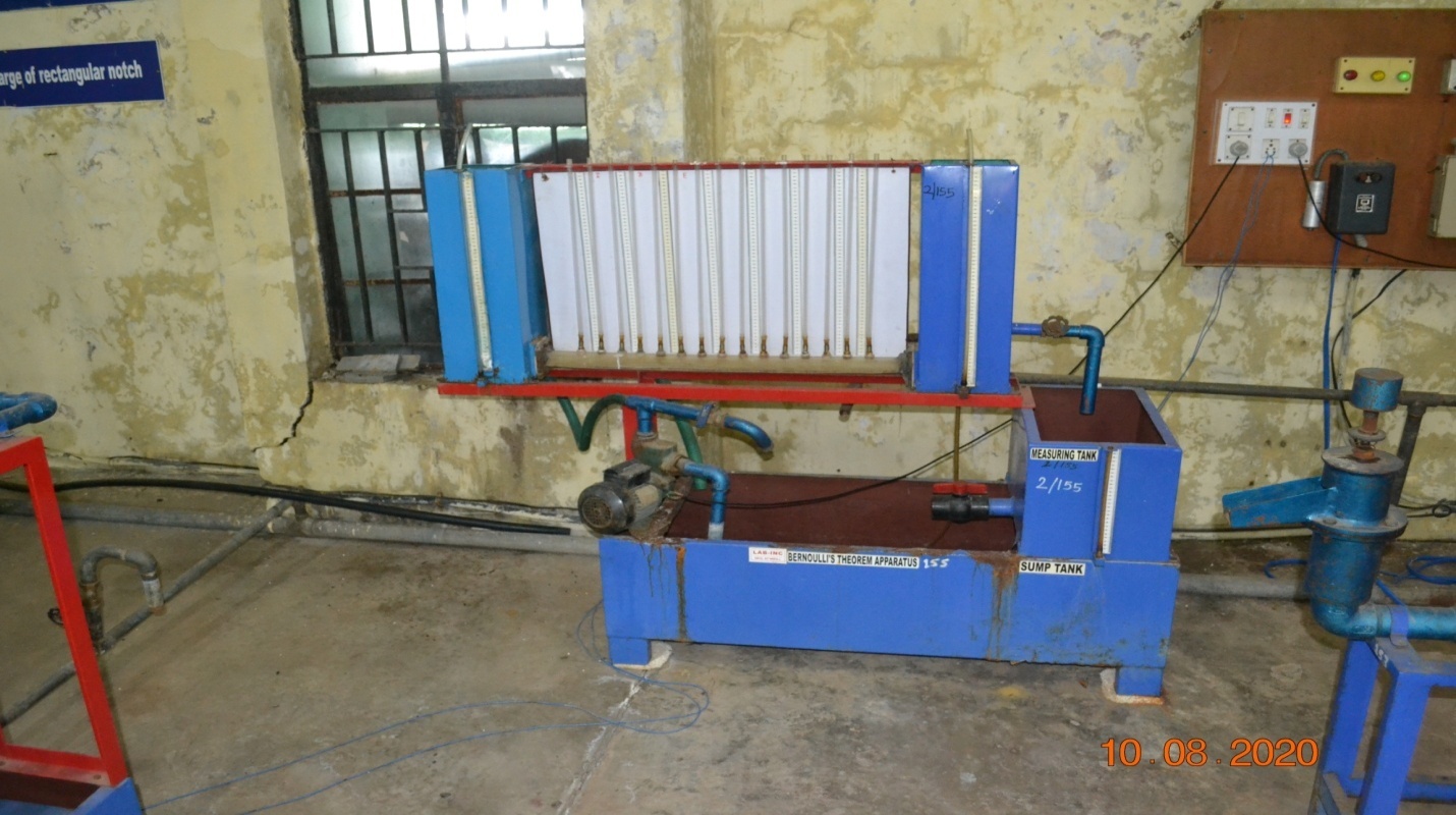
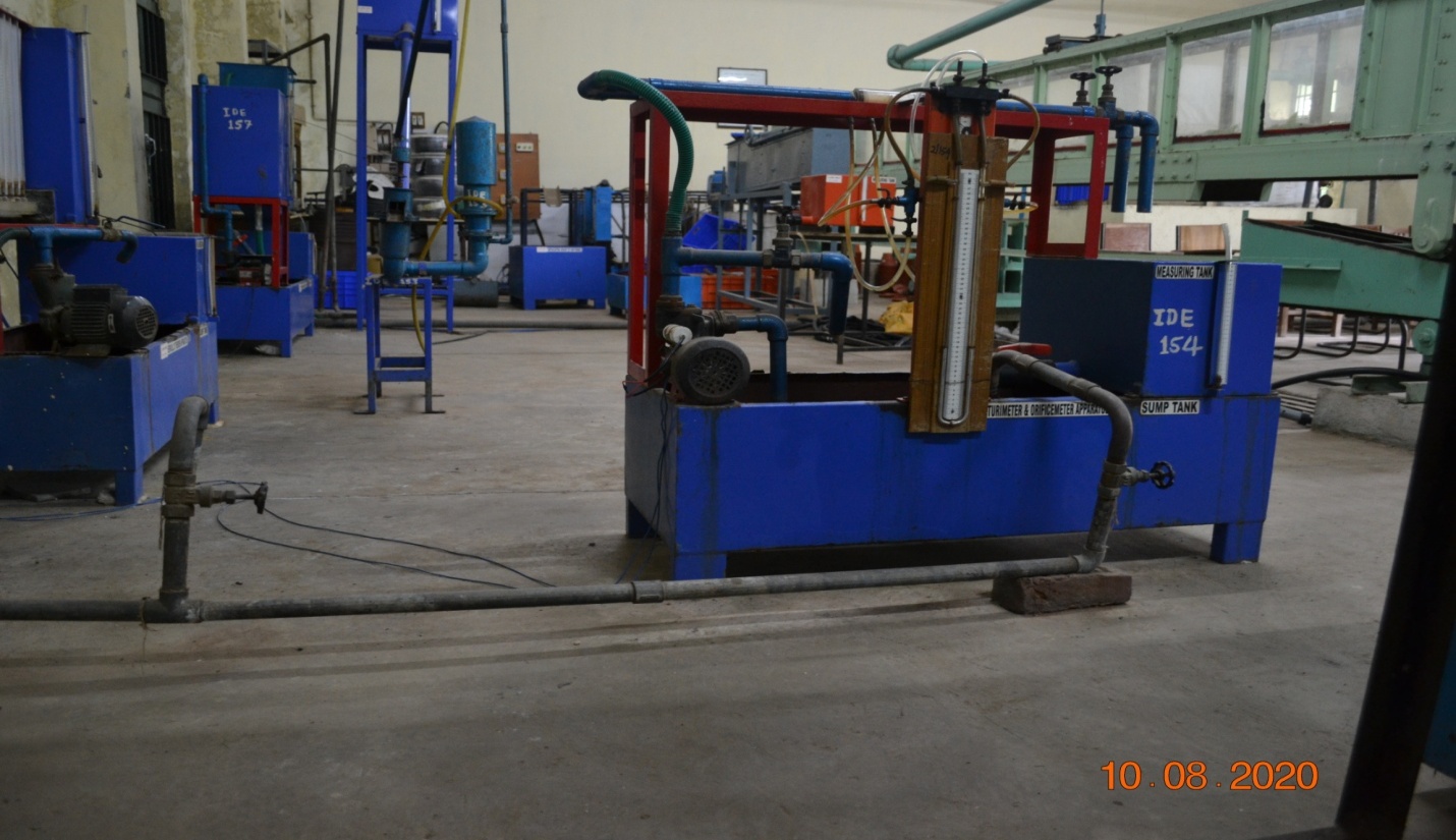
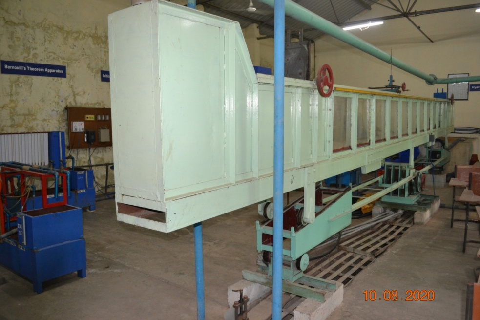
The important instruments like tilting flume of different sizes for studying the channel hydraulics, apparatus for the verification of Bernoulli’s theorem, Reynolds’ apparatus, hydraulic ram, equipments for the calibration of different types of notches, weirs, orifices, orifice meter and venturimeter, metacentric height etc. for students to conduct practical’s as per the V Deans committee syllabus. Other units viz. pump testing unit is also available in this laboratory for evaluation of pumps.
| Sr.No. | Instrument / Equipment | Purpose |
| 1 | Venturimeter | To measure rate of flow through pipes |
| 2 | Orificemeter | To measure rate of flow through pipes |
| 3 | Hydraulic ram | Non-conventional energy device for lifting of water. |
| 4 | Weirs and notches | To measure rate of flow through channels |
| 5 | Bernoullis theorem | To verify Bernoulli’s theorem |
| 6 | Coefficient of friction for flow through pipes | To determine coefficient of friction ‘f’ for flow through pipes |
| 7 | Bourden pressure gauge | To understand construction & working of pressure gauge |
| 8 | ‘U’ tube manometer | To determine pressure between two different points in a pipe |
| 9 | Apparatus for Cd, Cv& Cc | To determine Cd, Cv, & Cc for an orifice |
| 10 | Metacentric height | To determine metacentric height of floating bodies |
| 11 | Reynold’s apparatus | To study type of flow |
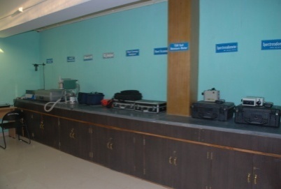
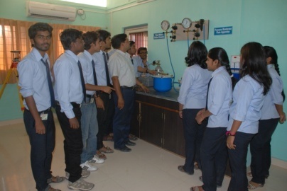
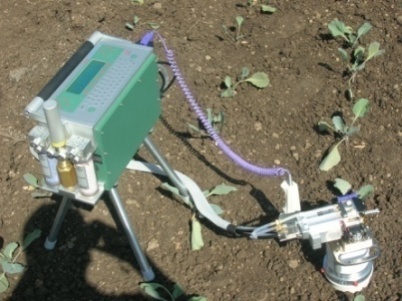
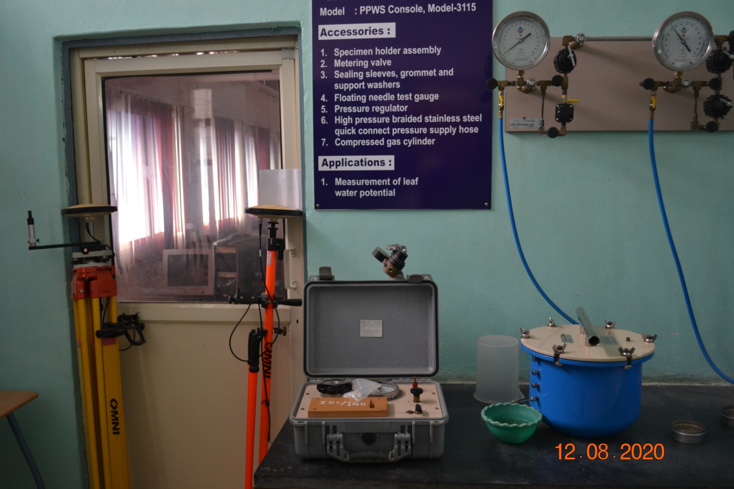
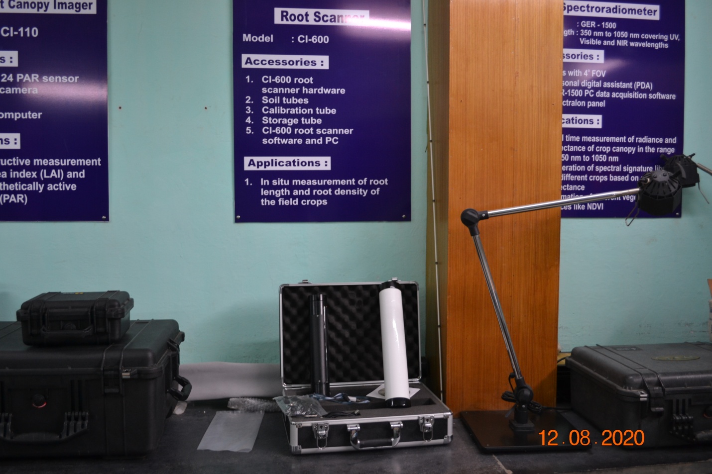
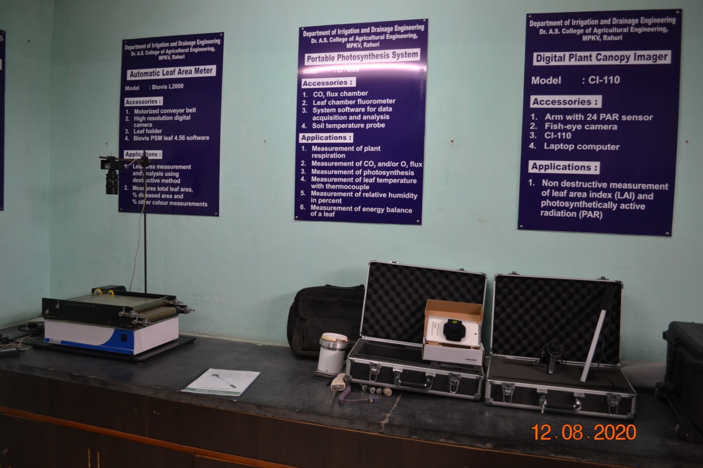
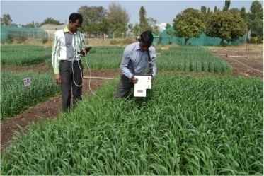
TThe laboratory consists of the advanced instruments viz. spectoradiometer, root scanner, pressure plate extractor/pressure apparatus, portable gas photosynthesis system, Co2 analyzer, leaf area meter, leaf water potential meter, moisture meters. These instruments are of immense use by the B.Tech., M.Tech. and Ph.D. students for conducting their research on water requirement and knowing the crop response to water stress. The spectral signatures are obtained using the Spectoradiometer which are useful in knowing the vegetation indices and using those in remote sensing and GIS based decision support system for irrigation water management studies. The Portable Gas Photosynthesis systems, Co2 Analyzer etc. are used to study the crop response to different climatological parameter, particularly in the controlled environment production of the crops. The soil moisture and plant moisture status can be determined using the Pressure plate Apparatus and plant moisture consol.
| Sr.No. | Instrument / Equipment | Purpose |
| 1 | Automatic leaf Area meter | To calculate leaf area index |
| 2 | Portable gas photosynthesis system | To measure photosynthesis rate of plant |
| 3 | Differential GPS | For land survey |
| 4 | CO2analyzer | To measure Co2 concentration in the soil |
| 5 | Plant canopy analyser | To measure plant canopy |
| 6 | Root scanner | To measure root length |
| 7 | TDR soil moisture meter | To measure soil moisture content |
| 8 | Spectroradiometer- GER-1500 (350 to 1050 nm) | To take spectral signature & calculation of NDVI |
| 9 | Spectroradiometer- SVR-1024 (350 to 2500nm) | To take spectral signature & calculation of NDVI |
| 10 | Lux meter | To measure solar radiation intensity |
| 11 | Plant water status console | To measure leaf water potential |
| 12 | Pressure membrane plate apparatus | To measure PWP & FC of soil sample |
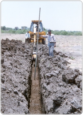
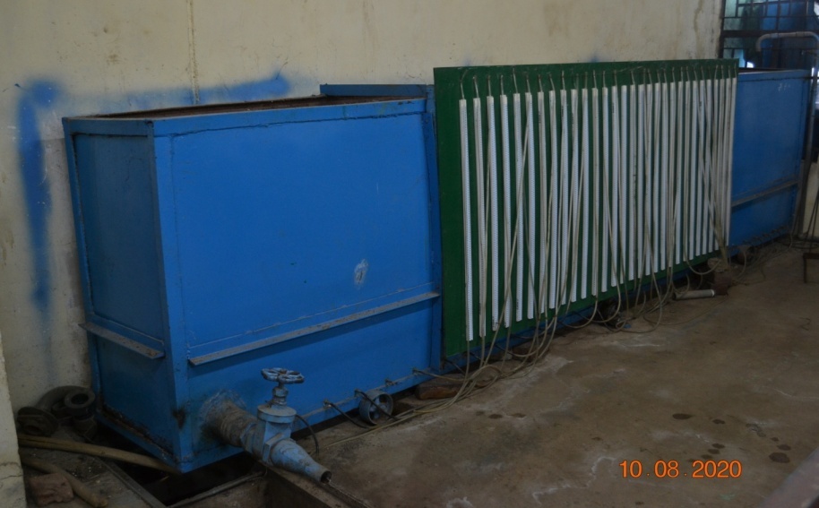
The laboratory is equipped with the subsurface drainage system with the drains installed at different spacing. In this laboratory, the practical’s like determination of in-situ hydraulic property of soils, drainable porosity, water table contour maps and piezometric maps are conducted. In addition to this, the laboratory also has sand tank model for conducting practicals on determination of drainable porosity in controlled condition.
| Sr.No. | Instrument / Equipment | Purpose |
| 1. | Post hole anger | To determine hydraulic conductivity |
| 2. | Sand tank model | To determine drainable porosity |
| 3. | Piezometer | To determine hydrostatic pressure |
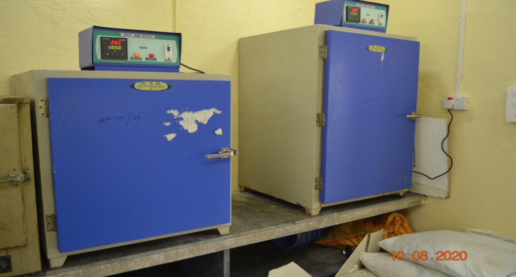
| 4. | Oven | Drying of soil samples and use for determination of moisture content |
This laboratory consists of the different types of advanced irrigation techniques viz.sprinkler irrigation, drip irrigation, micro sprinkler irrigation and rain gun systems. The laboratory is basically used for conducting the practicals on the performance evaluation of the pressurized irrigation systems; and developing the pressure discharge relationships of different types of emitters and nozzles. The laboratory is also equipped with the facilities to study the spray pattern of the sprinkler and rain gun irrigation systems. In addition to this, all the necessary equipments to study the hydraulics of the surface irrigation methods (border, ridges and furrows and check basin) including the double ring concentric infiltrometer, hook and point guagesetc are also available.
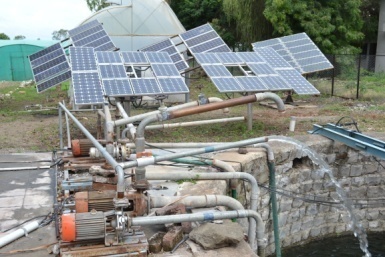
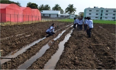
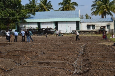
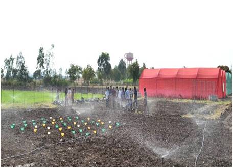
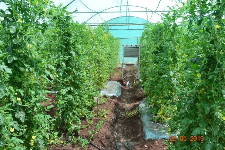
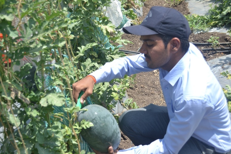
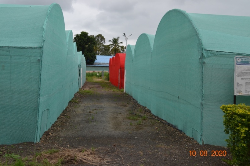
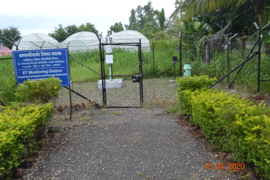
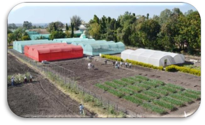
The department has the experimental instruction farm of 2.80 ha is having shade net houses with different colour and shading percentage of shade nets, along with a polyhouse. The shade net houses are supported with climatic data monitoring unit. A separate weather monitoring station is also installed to automatically record the climatic parameters that are required to estimate the reference evapotranspiration using Penmen- Monteith & other methods. The instructional farm facilitates conduct of research and practicals for B.Tech., M.Tech. and Ph.D. students and is equipped with irrigation units such as mono block and coupled pumps,SPV pumps, centrifugal and reciprocating pump, submersible pump, irrigation systems viz. drip, sprinkler, Raingun, Mini sprinklers etc.
These are used for the practicals, demonstrations and B. Tech. and M. Tech. students’ research projects.
| Sr.No. | Instrument / Equipment | Purpose |
| 1. | Polyhouse | Research &demonstration on protective cultivation of vegetables & flowers. |
| 2. | Shadenet houses | Research &demonstration |
| 3. | Automatic Weather Station | To automatically record climatological parameters & use it for estimation of crop water requirement. |
| 4. | Open dug well | Irrigation source |
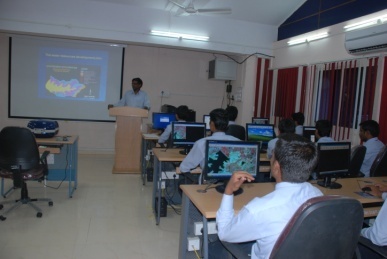
This laboratory has 20 terminals with recent software like Arc GIS 9.3, Surfer 10, METLAB 2011A, ERDAS IMAGIN-9.1, FEFLOW, MIKE-SHE, HEC-HMS, HEC-RAS, AV SWAT and the equipments like differential Global Positioning System (DGPS). These facilities are used for analysis of remote sensing and satellite data, generation of thematic maps and analysis of hydro meteorological data. This laboratory is also being used for conducting the practicals of application of remote sensing and GIS in water resources management for B. Tech., M. Tech. and Ph. D. courses as per the revised V Deans Committee syllabus. Students and staff conduct research related to their field of interest using these advance techniques.
| Sr.No. | Name of the Software | |
| 1. | ArcGIS 9.3 with 10 license copies | |
| 2. | ERDAS IMAGINE 9.1 | |
| 3. | Surfer 10 | |
| 4. | METLAB 2011b | |
| 5. | FEFLOW | |
| 6. | MIKE SHE 11 | |
| 7. | GNSS Solutions for DGPS | |
| 8. | Mobile Mapper Cx | |
| Name of the Hardware | ||
| 1. | 20 Computer systems | |
| 2. | Magic Studio as Audio-Visual Aid |
